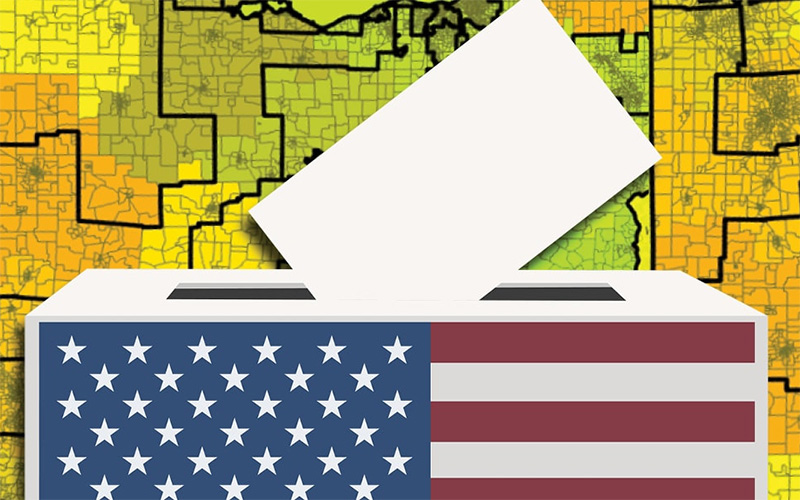
Drawing the Line
Associate Professor Jim Thatcher's NSF-funded project uses data to show college students how electoral districts are created.
This Section's arrow_downward Theme Info Is:
- Background Image: ""
- Theme: "light-theme"
- Header Style: "purple_dominant"
- Card Height Setting: "consistent_row_height"
- Section Parallax: ""
- Section Parallax Height: ""
Maybe it’s cliché to say that every vote counts. Even so, there is truth in that well-worn statement. For proof, look no further than the redistricting process. The U.S. government conducts a census every 10 years. The data collected is used to create or redraw legislative districts. There are 435 of these districts in the United States, and you live in one.
So, what does voting have to do with redistricting? Well, in many states, the party in charge gets to make the maps. “There are some national guidelines,” said UW Tacoma Associate Professor Jim Thatcher. “But there’s no federal mandate in how you draw districts, so it’s predominately left up to the states.” State legislatures in 31 states are currently tasked with drawing congressional districts. The rest use some form of commission.

Gerrymandering has been part of the American lexicon since the early 1800s. “It’s the act of drawing electoral districts in a way that favors one group or intentionally suppresses influence,” said Thatcher. There are different ways to do this, but partisan and racial gerrymandering are perhaps the most well-known.
Partisan gerrymandering can look like packing members of one party, regardless of location, into a few districts while spreading out supporters of another party. Racial gerrymandering can be achieved by drawing maps that concentrate populations of Black and brown people into one or two districts. Regardless of the method, the intent is to limit the voting power of a particular group or groups.
Research Experience for Undergraduates
Thatcher is the principal investigator on “Spatial Models and Electoral Districting.” University of Puget Sound Associate Professor Courtney Thatcher is a co-investigator on the project which received $343,000 from the National Science Foundation. Part of the NSF funds goes toward hiring college students to help develop and create new maps through the use of machine learning. “That’s kind of a vacuous term,” said Jim Thatcher. “In this case, we’re referring to sets of algorithms that are good at seeing similarities between data.”
Work on the project started in the summer of 2019. A different group of students is hired every year through a competitive process that attracts applicants from around the country. Up to 12 students can be brought on each time. Three of those 12 can be from UW Tacoma.
The project is part of the NSF’s “Research Experience for Undergraduates” (REU) program.” There are REUs all over the country but we’re currently the only one at UW Tacoma,” said Thatcher. Last year students stayed in dorms at UPS. The pandemic made that impossible this year. Instead, the Thatchers hired three students who did the work remotely. “We’re hoping to return to in-person work next summer,” he said.
For the Future
The three-year project will provide Thatcher with data he can use to write papers and/or present at conferences, but that’s not the point. “The real goal of this project is that we’re taking young people and we’re giving them the skills and the tools to think about this problem and to address it as they move forward,” he said.

Getting students to understand redistricting’s power starts with having them think about the data that goes into making a district. For one map, the team used travel-time analysis to redraw districts in Ohio. "What this means is that we group areas that are easier to travel between together, regardless of if they are close to each other on the original map,” said Thatcher. “For example, two houses might be only 100 yards apart as the crow flies, but if there is a river between them and no bridge for a mile, they are effectively a mile apart.”
The team used census data to draw a “communities of interest” map in Charlotte, North Carolina. “We took information like education, ethnicity and income and used an algorithm to allow clusters to emerge,” said Thatcher. “These clusters represent areas where people who are ‘most similar’ to one another live.”
These maps are both education and practice. In some ways, this project is a high-tech civics lesson. “We take very advanced machine learning algorithms and we churn through millions of data points on the census and we draw these electoral districts, but that doesn’t mean they’re neutral,” said Thatcher. “I still decided what algorithms and data we were going to use and I’m not a neutral party.”
We live in very polarized times. The 2020 census is nearing completion and the information collected will soon be used to redraw districts. Yes, every vote does count but it also matters what happens after the last votes have been tallied. “My broader argument is that I want people to understand who’s making these decisions and how they’re being made so that we can try to make them in ways that we agree are fair.”
Recent news
Main Content
Gathering Strength
News Tags on this arrow_upward Story:
- None
Main Content
UW Tacoma Enrollment up 4% for Autumn 2024
News Tags on this arrow_upward Story:
- None
Main Content
Celebrating First Gen
News Tags on this arrow_upward Story:
- None


